
PERPUSTAKAAN STPN
 | RANCANG BANGUN APLIKASI SISTEM INFORMASI PANDU UKUR PADA SISTEM OPERASI ANDROID (STUDI DI KANTOR PERTANAHAN KABUPATEN KUDUS) - BPN RI STPN - 2016 - Aplikasi Sistem Informasi |
 | PELAKSANAAN KEGIATAN INVENTARISASI PENGUASAAN PEMILIKAN PENGGUNAAN DAN PEMANFAATAN TANAH DI KABUPATEN DOMPU PROVINSI NUSA TENGGARA BARAT (Studi di Kelurahan Kandai Satu Kecamatan Dompu dan Desa Bara Kecamatan Woja) - BPN RI STPN - 2015 |
 | The Art of Smart Communicating - Image Press - 2008 - Smart |
 | EVALUASI PROGRAM IP4T TERHADAP MINAT MASYARAKAT UNTUK MEMILIKI HAK ATAS TANAH (Studi di Desa Dame Kecamatan Dolok Masihul Kabupaten Serdang Bedagai Propinsi Sumatera Utara) - STPN Yogyakarta - 2015 |
 | TENDENSI PERUBAHAN PENGGUNAAN LAHAN PERTANIAN MENJADI NON PERTANIAN MENGGUNAKAN CITRA SATELIT MULTITEMPORAL DI KABUPATEN BANTUL - BPN RI STPN - 2015 |
 | DAMPAK PERUBAHAN SAWAH IRIGASI KE NON PERTANIAN TERHADAP PRODUKSI PERTANIAN DI KABUPATEN TRENGGALEK - BPN RI STPN - 2015 - PERUBAHAN SAWAH IRIGASI KE NON PERTANIAN |
 | EVALUASI KESESUAIAN PENGGUNAAN TANAH TERHADAP RENCANA TATA RUANG WILAYAH (Studi di Kabupaten Majalengka Provinsi Jawa Barat) - BPN RI STPN - 2015 - Kesesuaian Penggunaan Tanah |
 | PELAKSANAAN PENYERAPAN ANGGARAN DI KANTOR PERTANAHAN KABUPATEN MAMUJU PROVINSI SULAWESI BARAT - BPN RI STPN - 2015 - Penyerapan anggaran KAntor Pertanahan |
 | Landing Page Optimization For Dummies - Wiley Publishing - 2009 |
 | Panduan Aplikasi, Manipulasi Efek Foto dengan Adobe Photoshop CS4 - Penerbit Andi - 2008 - Panduan |
 | Digital Land: Integrating Technology into the Land Planning Process - John Wiley - 2007 - Digital Land |
 | Land Use and Soil Resources - Springer - 2008 - Land |
 | Geographic Information From Space - Processing and Applications of Geocoded Satellite Images - John Wiley Sons - 1995 - Geographic |
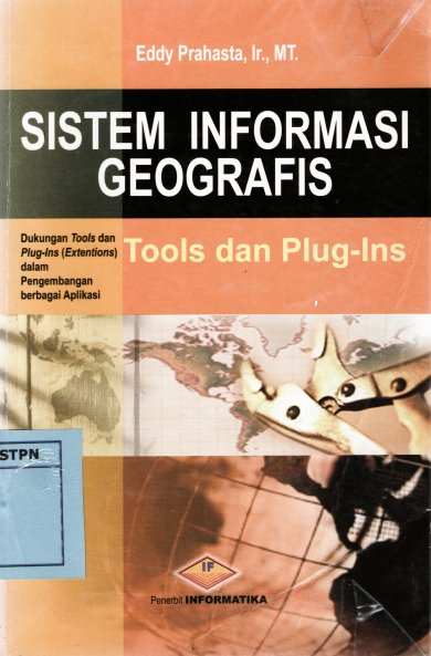 | Sistem Informasi Geografis Tools dan Plug-Ins - Informatika - 2004 - Tools Dan Plug,Ins |
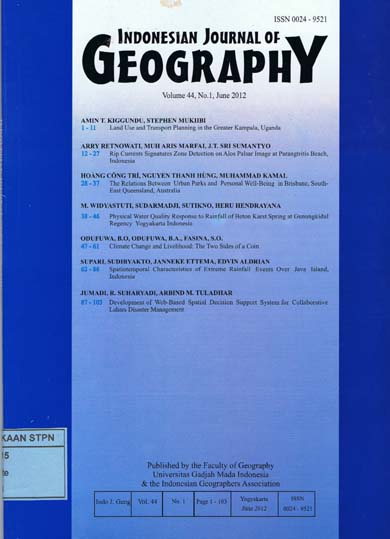 | Land Use and Transport Plaining in the Greater Kampala, Uganda - Rip Currents Signatures Zone Detection on alos Palsar Image at Parangtritis Beach, Indonesia - The Relations Between Urban and Personal Well-Being in Brisbane,South East Queensland, Australia - Physical water Quality Response to Rainfall of Beton Karst Spring at Gunungkidul Regency YogyakartabIndonesia - Climate Change and Livelihood : The Two Sides of a Coin - Spatiotemporal Characteristics of Extreme Rainfall Events Over Java Island,Indonesia - Development of Web-Based Spatial Decision Support System for Collaborative Lahars Disaster Management. - Ugm Press - 2012 - Land Use and Transport Planining |
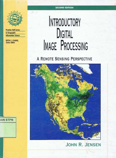 | Introductory Digital Image Processing - A Remote Sensing Perspective Second Edition - Prentice Hall - 1996 - Introductory,Digital |
 | EVALUASI KESESUAIAN PERUBAHAN PENGGUNAAN TANAH TERHADAP RENCANA DETAIL TATA RUANG KECAMATAN BANGUNTAPAN KABUPATEN BANTULPROVINSI DAERAH ISTIMEWA YOGYAKARTA - STPN Yogyakarta - 2011 - Penggunaan Tanah,Tata Ruang |
 | Computer Processing of Remotely-Sensed Images - An Introduction Second Edition - John Wiley And Sons - 1999 - Computer |
 | Raster Imagery in Geographic Information Systems - On Word Press - 1996 - Raster |
 | The Art Of Smart Communicating sukses dalam bisnis dan pergaulan dengan komunikasi yang memikat - Image Press - 2008 - Komunikasi |