
PERPUSTAKAAN STPN
 | PERAN POKMASDARTIBNAS DALAM MENDUKUNG PENDAFTARAN TANAH SISTEMATIS LENGKAP MELALUI PEMETAAN PARTISIPATIF ( Studi Di Desa Tukum, Kecamatan Tekung, Kabupaten Lumajang) - Kementerian Agraria dan Tata Ruang/BPN STPN - 2018 - Pokmasdartibnah,Participatory Mapping,Complete Systematic land Registration,PTSL |
 | Strategi Mewujudkan Pendaftaran Tanah Sempurna Melalui Program Pendaftaran Tanah Sistematis lengkap Di Kantor Pertanahan Kabupaten Gresik - Kementerian Agraria dan Tata Ruang/BPN STPN - 2018 - PTSL,Perfect Land Registry,Spatial Database,KKP |
 | Pemanfaatan Mobile Base Station South Tipe Galaxy GI Untuk pengukuran Titik Batas Bidang Tanah - Kementerian Agraria dan Tata Ruang/BPN STPN - 2018 - South Galaxy GI,CORS,JRSP,Mbile Base Station |
 | Pengguna Mobile Base Station South Tipe Galaxy GI Untuk percepatan Pengukuran Bidang Tanah - Kementerian Agraria dan Tata Ruang/BPN STPN - 2018 - Mobile Base station,The Measurement of land,South Galaxy GI |
 | PENGGUNANAAN MOBILE BASE STATION SOUTH TIPE GALAXY GI UNTUK PENGUKURAN BATAS BIDANG TANAH DI KAWASAN PADAT BANGUNAN - Kementerian Agraria dan Tata Ruang/BPN STPN - 2018 - Mobile Base station,South type Galaxy GI |
 | UJI KETELITIAN HASIL PEMOTRETAN DENGAN UNMANTED AERIAL VEHICLE(UAV) PADA VARIASI TOPOGRAFI UNTUK PENGUKURAN DAN PEMETAAN PENDAFTRAN TANAH - Kementerian Agraria dan Tata Ruang/BPN STPN - 2018 - UAV,Photogrametric,Topography |
 | PEMANFAATAN UNMANNED AERIAL VEHICLE(UAV) MODEL FIXED WING UNTUK PEMBENAHAN DATA SPASIAL PERTANAHAN DI LOKASI PENDAFTARAN TANAH SESTEMATIK LENGKAP (PTSL) - Kementerian Agraria dan Tata Ruang/BPN STPN - 2018 - UAV,Work map,Improvement |
 | PEMANFAATAN TEKNOLOGI UAV (UNMANTED AERIAL VEHICLE)/DRONE TIPE QUADCOPTER UMTUK PENGUKURAN BIDANG TANAH NON-PERTANIAN - Kementerian Agraria dan Tata Ruang/BPN STPN - 2018 - Peta Foto,UAV,Fotogrametrik,Non,Pertanian |
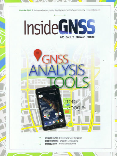 | Inside GNSS - Inside GNSS Media and Research LLC - 2018 - Navigation |
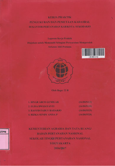 | kerja Praktik Pengukuran Dan Pemetaa Kadastral Di Kantor Pertanahan Kab/Kota Sukoharjo - Kementerian Agraria dan Tata Ruang/BPN STPN - 2017 |
 | Inside GNSS GPS Galileo Glonas Beidou - Gibbons Media & Research LLC - 2015 |
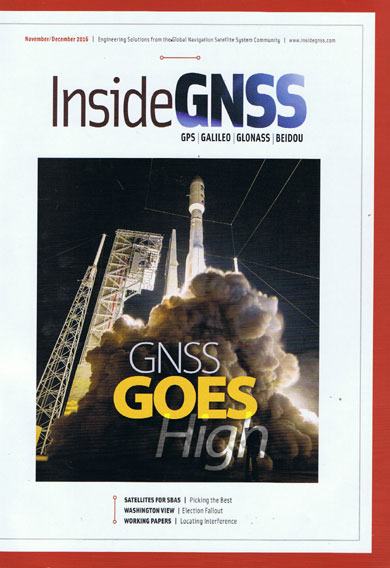 | Inside GNSS GPS Galileo Glonas Beidou - Gibbons Media & Research LLC - 2016 |
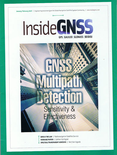 | Inside GNSS Galileo Glonass Beidou - Gibbons Media & Research LLC - 2018 |
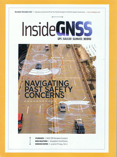 | Inside GNSS GPS Galileo Glonass Beidou - Gibbons Media & Research LLC - 2017 |
 | Inside GNSS GPS Galileo Glonass Beiddu Geolocation Privacy - Gibbons Media &Research LLC - 2016 |
 | Inside GNSS GPS - Gibbons Media & Research LLC - 2017 |
 | Inside GNSS GPS galileo Glonas Beidou - Gibbons Media & Research LLC - 2017 |
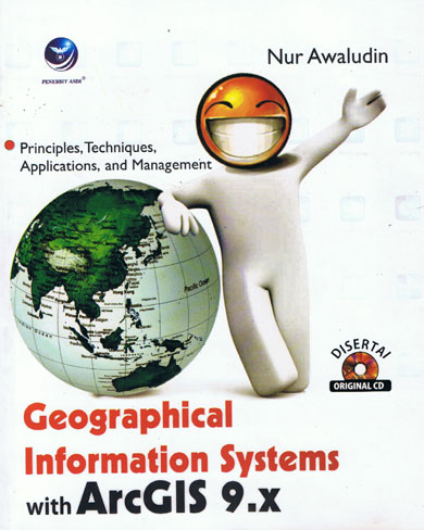 | Geographical Information Systems With ArcGIS 9.X - CV. ANDI Offset - Geographis |
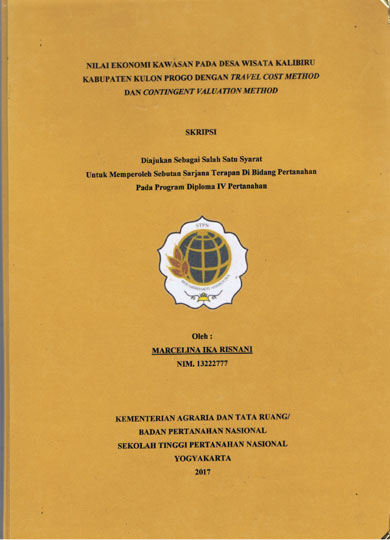 | NILAI EKONOMI KAWASAN PADA DESA WISATA KALIBIRU KABUPATEN KULON PROGO DENGAN TRAVEL COST METHOD
DAN CONTINGENT VALUATION METHOD - STPN - 2017 - Travel Cost Method,Kalibiru,Cintingent Valuatoin method,WTP,Nilai Ekonomi,Surplus Konsumen |
 | PEMANFAATAN WEB-BASED GNSS DATA PROCESSING SERVICE: AUSPOS UNTUK KEGIATAN PENGUKURAN DAN PEMETAAN KADASTRAL - STPN - 2017 |