PERPUSTAKAAN STPN

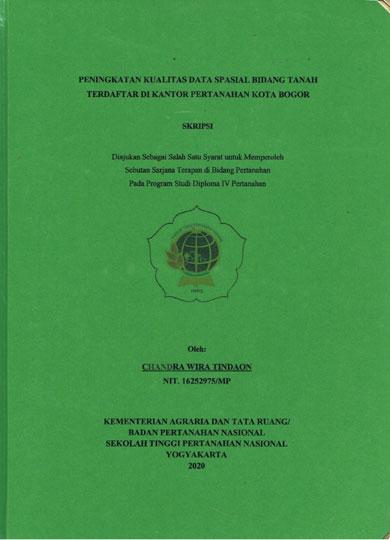
| Pengarang | Chandra Wira Tindaon |
| Penerbit | Kementerian ATR/Badan Pertanahan Nasional-STPN |
| Tempat Terbit | Yogyakarta |
| Tahun Terbit | 2020 |
| Bahasa | Indonesia |
| ISBN/ISSN | - |
| Kolasi | xv,85 hlm. ; ilus. ; 30 cm |
| Subjek | Kualitas data,Spasial Vilidasi |
| Media | Skripsi |
| Abstrak | |
Land Data is data obtained from the results of the Land Registration. All registered parcels should be mapped on the Registration Map and integrated by the GeoKKP application. While the quality of spatial data on the Registration Map still shows the existence of KW1-KW3 parcels that are not yet valid and there are still many registered parcels that have not been mapped. Improving the quality of land condition of spatial data is one part of the realization of a Complete Cadastral Map. The purposes of this study are to study the spatial data quality obtained, study the problem and solution, and describe the strategy to improve the quality of spatial data registered at the Bogor City Land Office. This research method uses qualitative methods using descriptive approch. The results of this study there were parcel data that were not mapped on the cadastral map (KW4-KW6). The strategy by Bogor City Land Office is to coordinate with the Ministry of ATR / BPN, UGM and the Bogor City Government, and forming task force that is named PTKL (Pendaftaran Tanah Kota Lengkap) team in realizing a Complete Cadastral Map. The result shows that parcels in 10 villages can be registered and mapped. Keyword: Data Quality, Spatial Data, Validation | |
| Nomor Rak | 350 - P | ||||||
| Nomor Panggil | 351.7 Wir P | ||||||
| Lokasi | Ruang Referensi | ||||||
| Eksemplar | 1 | ||||||
 PENCARIAN RFID PENCARIAN RFIDPencarian koleksi menggunakan RFID akan membantu mempercepat menemukan koleksi di rak buku. Gunakan fitur ini jika mengalami kesulitan dalam menemukan koleksi di rak buku. Untuk menggunakan fitur ini silahkan klik salah satu Tombol Pesan diatas kemudian hubungi Petugas Pelayanan Sirkulasi dengan menyebutkan Judul Bukunya. | |||||||