PERPUSTAKAAN STPN

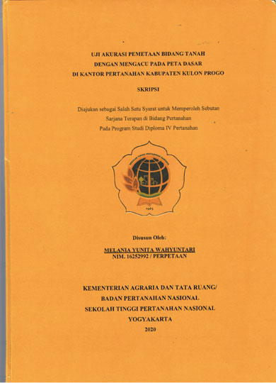
| Pengarang | Melania Yunita Wahyuntari |
| Penerbit | Kementerian ATR/Badan Pertanahan Nasional-STPN |
| Tempat Terbit | Yogyakarta |
| Tahun Terbit | 2020 |
| Bahasa | Indonesia |
| ISBN/ISSN | - |
| Kolasi | xvii,78 hlm. ; ilus. ; 30 cm |
| Subjek | Pengukuran Batas Bidang Tanah,Peta Kadastral,GNSS,RTK,Topografi |
| Media | Skripsi |
| Abstrak | |
Generally, land parcel mapping can use a base map or imagery to plot the measurement results according to the reference system used. The plot position of boundary plotting in a relatively flat area usually matches the appearance in the imagery but in mountainous areas it is not. This mapping conditions need the accuracy test of the land parcels mapping which refers to the base map on topography in relatively flat and mountainous areas using GNSS RTK. This study aims to determine the accuracy of the boundary points mapping position of land parcels produced by the MPA download in relatively flat and mountainous areas and whether there are significant differences in the two topographies. The research method used is comparative the coordinates of the of the land parcels boundary points measured in the field with the results of GeoKKP downloads. The results showed the mapping accuracy of the boundary points position of the land plotted in GeoKKP in a relatively flat area, the difference average value in lateral position coordinates (ΔL) is smaller than in mountainous areas, so that the mapping accuracy in relatively flat areas is better. Based on the Technical Guidance for PMNA / KBPN Number 3 of 1997, most residential areas do not meet tolerance and agricultural areas meet tolerance. The results of the ttest for X and Y values in relatively flat areas did not have a significant difference, while in mountainous areas there were significant differences. Chisquare test results in relatively flat and mountainous areas indicate that (ΔL) belongs to the same class or mapping homogeneity. The F test for relatively flat and mountainous areas resulted in a significant difference in lateral position (ΔL). Keywords: Land boundary measurement, cadastral maps, RTK GNSS, topography | |
| Nomor Rak | 350 - U | ||||||
| Nomor Panggil | 351.7 Yun U | ||||||
| Lokasi | Ruang Referensi | ||||||
| Eksemplar | 1 | ||||||
 PENCARIAN RFID PENCARIAN RFIDPencarian koleksi menggunakan RFID akan membantu mempercepat menemukan koleksi di rak buku. Gunakan fitur ini jika mengalami kesulitan dalam menemukan koleksi di rak buku. Untuk menggunakan fitur ini silahkan klik salah satu Tombol Pesan diatas kemudian hubungi Petugas Pelayanan Sirkulasi dengan menyebutkan Judul Bukunya. | |||||||