PERPUSTAKAAN STPN

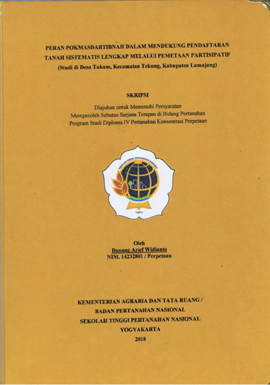
| Pengarang | Danang Arief Widianto |
| Penerbit | Kementerian Agraria dan Tata Ruang/BPN STPN |
| Tempat Terbit | Yogyakarta |
| Tahun Terbit | 2018 |
| Bahasa | Indonesia |
| ISBN/ISSN | - |
| Kolasi | xiv,52 hlm, . ilus, ; 30 cm |
| Subjek | Pokmasdartibnah,Participatory Mapping,Complete Systematic land Registration,PTSL |
| Media | Skripsi |
| Abstrak | |
ABSTRACT The Government of Indonesia in guaranteeing legal certainty of land rights shall be obligated to carry out land registration in the entire territory of the Republic of Indonesia. The Land Agency of Lumajang District js currently conducting Complete Systematic Land Registration (PTSL) in cooperation with its village administration. The reason of this cooperation is that the registration of a land is not considered as a task that belongs to the Ministry of Agrarian Affairs and Spatial Planning / National Land Agency. Therefore any involvement between the village administration and an initiative group named "Kelompok Masyarakat Sadar Tertib Pertanahan" or Pokmasdartibnah is expected to provide a great contribution to the Land Agency of Lumajang District by conducting a participatory mapping. This research is a participatory observafion research with a qualitative approach. This research was conducted within the aim : 1) to recognize the involvement of a village administration in providing datas of land area in order to support PTSL in Tukum Village. in sub district Tekung of Lumajang District. 2). to learn about the role of Pokmasdartibnah Tukum village in providing the distribution of field map in order to support PTSL. Moreover this research was conducted by analyzing the participation and its view in the society towards the PTSL. The involvement of village administrative in providing data on its land surface includes: 1) A map block which is issued recently by the local Tax and Retribution Agency (BPRD) in Lumajang District or the one which is issued in the last two years, or; 2) Tax Number and a registration document as a taxpayer; 3) A legal proof or documents in owning a land and a current ID card. Furthermore the roles of Pokmasdartibnah Tukum village in providing the distribution map of fields are : 1) Assisting the task force in designating and installing land boundary markers, measuring and identifying land surface; 2) Assisting juridical task force in inventory and to identify PTSL participants, assisting the socialization, and examining the completeness of documents Keywords: Pokmasdartibnah, Participatory Mapping, Complete Systematic Land Registration (PTSL) | |
| Nomor Rak | 330 - P | ||||||
| Nomor Panggil | 333 Ari P | ||||||
| Lokasi | Ruang Referensi | ||||||
| Eksemplar | 1 | ||||||
 PENCARIAN RFID PENCARIAN RFIDPencarian koleksi menggunakan RFID akan membantu mempercepat menemukan koleksi di rak buku. Gunakan fitur ini jika mengalami kesulitan dalam menemukan koleksi di rak buku. Untuk menggunakan fitur ini silahkan klik salah satu Tombol Pesan diatas kemudian hubungi Petugas Pelayanan Sirkulasi dengan menyebutkan Judul Bukunya. | |||||||