PERPUSTAKAAN STPN

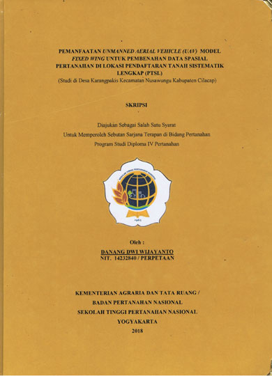
| Pengarang | Danang Dwi Wijayanto |
| Penerbit | Kementerian Agraria dan Tata Ruang/BPN STPN |
| Tempat Terbit | Yogyakarta |
| Tahun Terbit | 2018 |
| Bahasa | Indonesia |
| ISBN/ISSN | - |
| Kolasi | xiii,113 hlm, ; ilus, ; 30 cm |
| Subjek | UAV,Work map,Improvement |
| Media | Skripsi |
| Abstrak | |
ABSTRACT Based on complete systematic Land Surveying and mapping ua1 technical instructions No- : 01/JUKNIS-300/l/2018 Unmanned Aerial Vehicle (UAV) can be utilized, to create the PTSL mapping. In creating work ping which generated from all listed plots UAV photo map, for the plo �t has been mapped and the plot has not been mapped in GeoKKP system lie to be plot first on the UAV photo map as the surveying guide in the field. It is suspected that there were, listed plot (K4) position, shape and acreage difference with plot physical surface in the UAV photo map. This research is i mended to improve the listed plot (K4) spatial data that has been plotted on UAV photo map based on JUKNIS and Geographical Index Mapping. This research employed the quantitative method with 60 plots sample consisting of 55 K4 plots that have been mapped and 5 K4 plots that have not been mapped. Improvement of the plots were done by comparing the result of�UAV photo mapping to the plot surface. This research used 3 variables as the analysis. they are position, shape and acreage difference. Based on the research result and analysis, it is found that all of the 55 fisted K4 plots sample that have been mapped are not in the precise position compared to the UAV Photo Map, so that the result have to be improved by doing the "moving" and "rotating". It is also found that there were 51 plots (9272%) have identical shape and 4 plots (7,28%) have different shape. Lastly, the (T='/2IL) formulas is used to measure the plot acreage. The researcher found that 21 plots (38,18%) are still in tolerance acreage difference number and 61,82% are not in tolerance acreage difference. Then, the result of 5 K4 plots that have not been mapped could be drawn and plotted on the UAV photo map. There are 4 plots that are in precise position and 1 plot is not in wise position. There is no difference between the drawn and UAV photo map shape result. In acreage comparison result they are divided into 2 comparisons, the comparison between textual acreage and drawing result (3 of 5 samples are categorized as not in tolerance acreage), the comparison between textual acreage and digital acreage (2 plots are categorized as not in tolerance & reage result and 3 plots can not be measured in digital). The spectacles faced by the researcher in improving the plots are laptop specification, administration, vegetation and human resources). Keywords: UAV, Work map, Improvement xv | |
| Nomor Rak | 500 - P | ||||||
| Nomor Panggil | 526.9 Dwi P | ||||||
| Lokasi | Ruang Referensi | ||||||
| Eksemplar | 1 | ||||||
 PENCARIAN RFID PENCARIAN RFIDPencarian koleksi menggunakan RFID akan membantu mempercepat menemukan koleksi di rak buku. Gunakan fitur ini jika mengalami kesulitan dalam menemukan koleksi di rak buku. Untuk menggunakan fitur ini silahkan klik salah satu Tombol Pesan diatas kemudian hubungi Petugas Pelayanan Sirkulasi dengan menyebutkan Judul Bukunya. | |||||||