PERPUSTAKAAN STPN

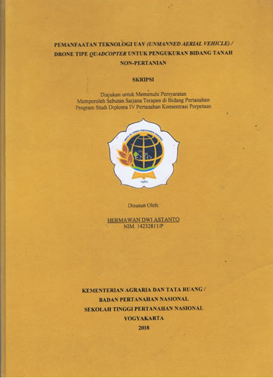
| Pengarang | Hermawan dwi Astanto |
| Penerbit | Kementerian Agraria dan Tata Ruang/BPN STPN |
| Tempat Terbit | Yogyakarta |
| Tahun Terbit | 2018 |
| Bahasa | Indonesia |
| ISBN/ISSN | - |
| Kolasi | xiv,59 hlm, ; ilus, ; 30 cm |
| Subjek | Peta Foto,UAV,Fotogrametrik,Non,Pertanian |
| Media | Skripsi |
| Abstrak | |
ABSTRACT Currently, the Ministry of ATR / BPN is targeted to complete land registration in all parts of Indonesia, so that all parcels of land are certified in 2025. Due to the lack of human resources and conventional methods of measurement, such as terrestrial methods trilaterally, especially in non´┐Żagricultural land, alternatively by optimizing the photogrametric method in combination by utilizing UAV / drone photo shoot maps. The purpose of this research is first, to know whether photo map of UAV photo shoot can be used for non-agricultural land measurement material with combination photogrametric method. Second, to know the efficiency of photo map utilization of UAV shooting for measurement of non-agricultural land area of photogrametric method in combination, compared with tril'ateration terrestrial method. This research format is a quantitative comparative method, by comparing the measurement of photogrammetric method in combination %krith terrestrial method in trilateration. Data analysis refers to the PMNA I KBPN Technical Guidelines No. 3 of 1997. The efficiency notion in this study is limited to the comparative element of length of observation and the amount of human resources between the two methods used. Tools and materials used among others, UAV type Quadcopter DJI Phantom 3 Professional, Leica Viva Rover GNSS CORS, and Tape measure. The photographic map making in this study used Agisoft Photoscan Pro V.1.4.1 Software, then the photo map was digitized and combined with terrestrial measurement, so as to produce a map of the ground plane, so that the result will be compared with the ground plane map of the terrestrial method measurement in trilateration. Based on this research, it can be seen that, firstly, photograph map taken by UAV / drone can be used for non-agricultural land measurement using Photogrametric method in combination (fotogrametris & terestris). The difference in the position of the test point on the photo map and in the field, has an absolute average value of 0.03 m. The difference between the boundary point of the plane of a plot of 98 samples satisfies the tolerance of | |
| Nomor Rak | 500 - P | ||||||
| Nomor Panggil | 526.9 Dwi P | ||||||
| Lokasi | Ruang Referensi | ||||||
| Eksemplar | 1 | ||||||
 PENCARIAN RFID PENCARIAN RFIDPencarian koleksi menggunakan RFID akan membantu mempercepat menemukan koleksi di rak buku. Gunakan fitur ini jika mengalami kesulitan dalam menemukan koleksi di rak buku. Untuk menggunakan fitur ini silahkan klik salah satu Tombol Pesan diatas kemudian hubungi Petugas Pelayanan Sirkulasi dengan menyebutkan Judul Bukunya. | |||||||