
PERPUSTAKAAN STPN
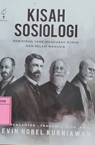 | KISAH SOSIOLOGI PEMIKIRAN YANG MENGUBAH DUNIA DAN RELASI MANUSIA - PT. Pustaka Obor Indonesia - 2025 - Sosiologi |
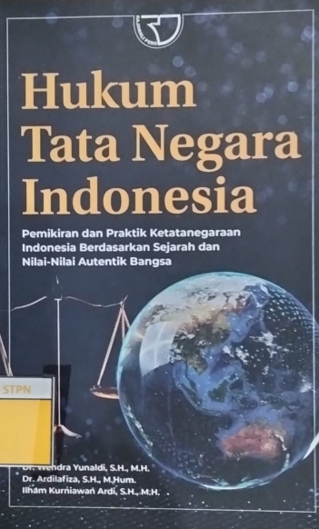 | HUKUM TATA NEGARA INDONESIA PEMIKIRAN DAN PRAKTIK KETATANEGARAAN INDONESIA BERDASARKAN SEJARAH DAN NILAI-NILAI AUTENTIK BANGSA - Raja Wali Pers PT Raja Grafindo Persada - 2025 - Hukum,Law |
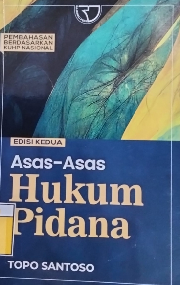 | ASAS-ASAS HUKUM PIDANA EDISI KEDUA - Raja Wali Pers PT Raja Grafindo Persada - 2024 - Hukum,Law |
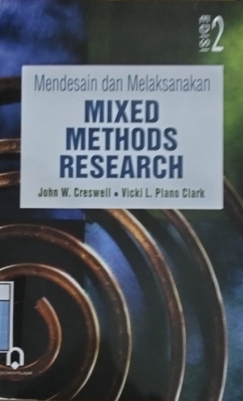 | MENDESAIN DAN MELAKSANAKAN MIXED METHODS RESEARCH EDISI KE-2 - Pustaka Pelajar - 2018 - Metode Penelitian |
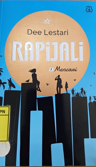 | RAPIJALI 1 MENCARI - PT. Bentang Pustaka - 2021 - Novel |
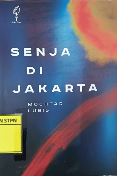 | SENJA DI JAKARTA - Yayasan Pustaka Obor Indonesia - 2025 - Novel |
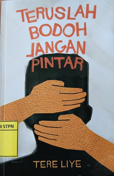 | TERUSLAH BODOH JANGAN PINTAR - PT. Sabak Grip Nusantara - 2025 - Novel Dewasa |
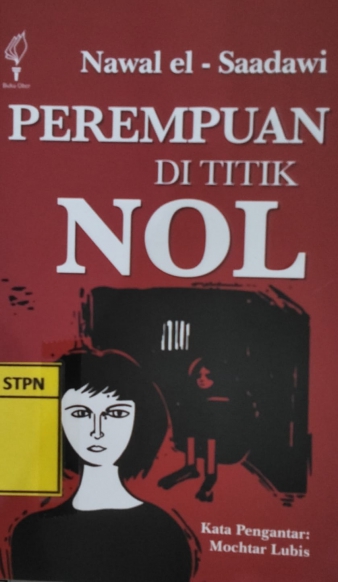 | PEREMPUAN DI TITIK NOL - Yayasan Pustaka Obor Indonesia - 2025 - Sastra,Novel |
 | MUSIM PANAS TERAKHIR - Yayasan Pustaka Obor Indonesia - 2009 - Sastra,Novel |
 | HARIMAU! HARIMAU! - Yayasan Pustaka Obor Indonesia - 1992 - Novel |
 | TEMAN NGOBROL JADI TEMAN HIDUP - Andam - 2021 - Fiksi Indonesia |
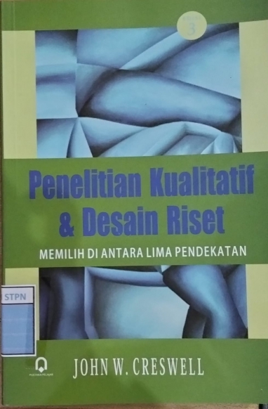 | PENELITIAN KUALITATIF % DESAIN RISET MEMILIH DIANTARA LIMA PENDEKATAN EDISI 3 - Pustaka Pelajar - 2013 - Pengumpulan data,analisis data |
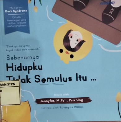 | SEBENARNYA HIDUPKU TIDAK SEMULUS ITU... - Andam - 2022 - Self Improvement |
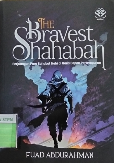 | THE BRAVEST SHAHABAH PERJUANGAN PARA SAHABAT NABI DI GARIS DEPAN PERTEMPURAN - Amzah - 2024 - Sejarah |
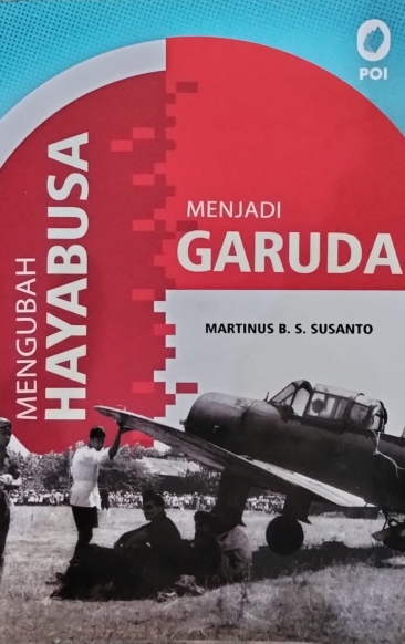 | MENGUBAH HAYABUSA MENJADI GARUDA - PT Pustaka Obor Indonesia - 2024 - Non Fiksi,Inspiratif |
 | UNLOCK YOUR CAREER - Andam - 2025 - Self Improvement |
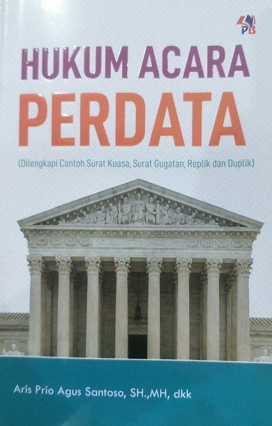 | HUKUM ACARA PERDATA (DI LENGKAPI CONTOH SURAT KUASA, GUGATAN, REPLIK DAN DUPLIK) - PUSTAKABARUPRESS - 2023 - Hukum Acara perdata,Beracara |
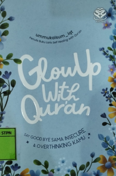 | GLOWUP WITH QUR'AN SAYNGOOD BYE SAMA INSECURE & OVERTHINKING KANU - Amzah, Imprint PT Bumi Aksara - 2025 - Self Improvement |
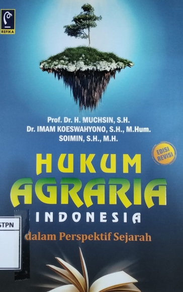 | HUKUM AGRARIA INDONESIA DALAM PERSPEKTIF SEJARAH EDISI REVISI - PT Refika Aditama - 2007 - Hukum Pertanahan,Sejarah Pertanahan |
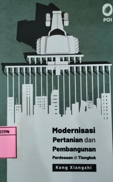 | MODERNISASI PEERTANIAN DAN PEMBANGUNAN PERDESAAN DI TIONGKOK - PT Pustaka Obor Indonesia - 2023 - Ekonomi,Pertanian |