
PERPUSTAKAAN STPN
 | ARCHIPELAGOS THE POWER OF IMANG IN NUSANTARA - Andam - 2025 - Novel |
 | TURNING PAGE - PT. Bukune Kreatif Cipta - 2022 - Fiksi |
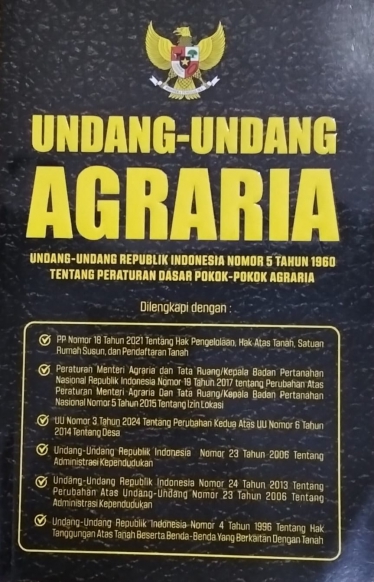 | UNDANG-UNDANG AGRARIA
UNDANG-UNDANG REPUBLIK INDONESIA NOMOR 5 TAHUN 1960 TENTANG PERATURAN DASAR POKOK-POKOK AGRARIA - Pustaka Mahardika - 2025 - Hukum,Law |
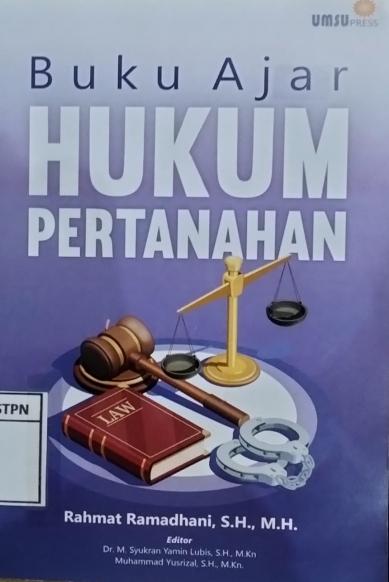 | BUKU AJAR PERTANAHAN - UMSU PRESS - 2024 - Referensi |
 | HUKUM AGRARIA INDONESIA - Setara Press - 2016 - Hukum Agraria Indonesia |
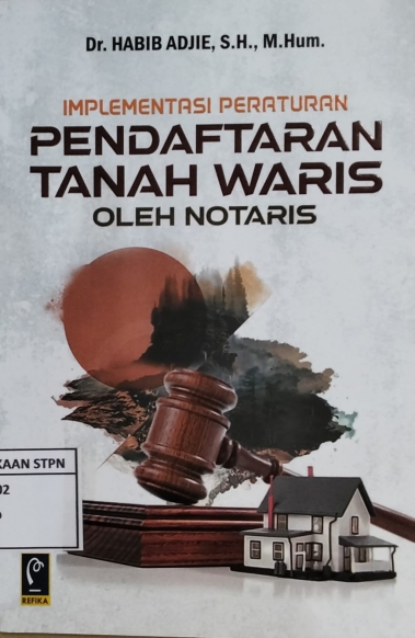 | IMPLEMENTASI PERATURAN PENDAFTARAN TANAH WARIS OLEH NOTARIS - PT Refika Aditama - 2022 - Hukum,Law |
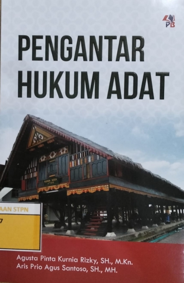 | PENGANTAR HUKUM ADAT - Pustaka Baru Press - 2025 - Hukum,Law |
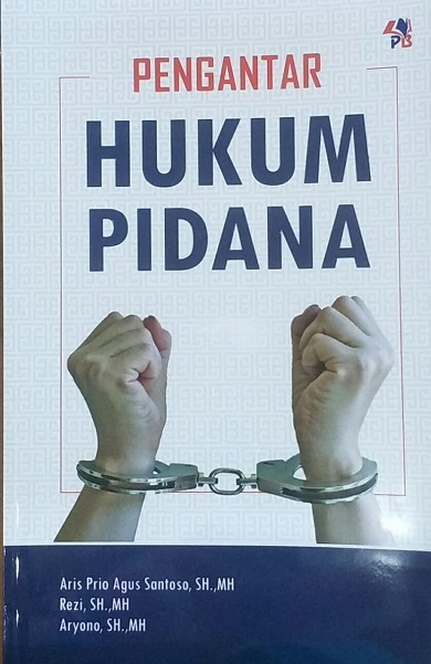 | PENGANTAR HUKUM PIDANA - PUSTAKABARUPRESS - 2023 - Ilmu Hukum Pidana |
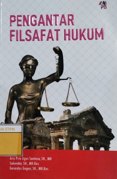 | PENGANTAR FILSAFAT HUKUM - Pustaka Baru Press - 2024 - Hukum,Law |
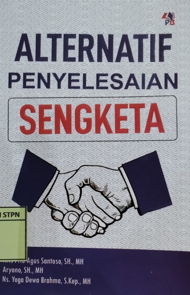 | ALTERNATIF PENYELESAIAN SENGKETA - Pustaka Baru Press - 2024 - Hukum,Law |
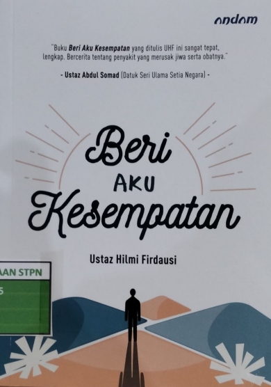 | BERI AKU KESEMPATAN - Andam - 2021 - Agama Islam |
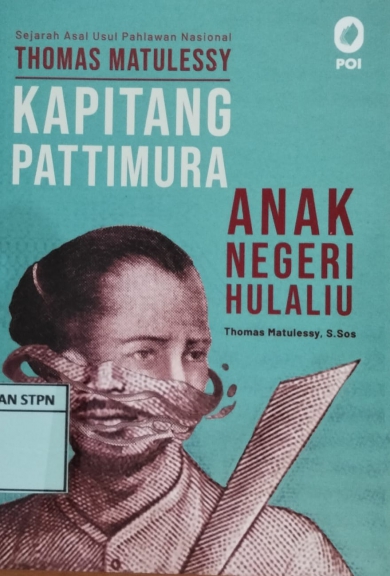 | SEJARAH ASAL-USUL PAHLAWAN NASIONAL THOMAS MATULESSY KAPITANG PATTIMURA ANAK NEGERI HULALIU - PT Pustaka Obor Indonesia - 2022 - Biografi |
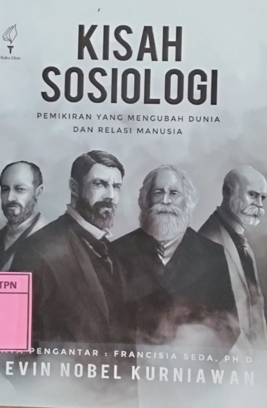 | KISAH SOSIOLOGI PEMIKIRAN YANG MENGUBAH DUNIA DAN RELASI MANUSIA - PT. Pustaka Obor Indonesia - 2025 - Sosiologi |
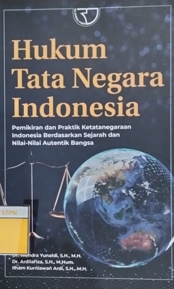 | HUKUM TATA NEGARA INDONESIA PEMIKIRAN DAN PRAKTIK KETATANEGARAAN INDONESIA BERDASARKAN SEJARAH DAN NILAI-NILAI AUTENTIK BANGSA - Raja Wali Pers PT Raja Grafindo Persada - 2025 - Hukum,Law |
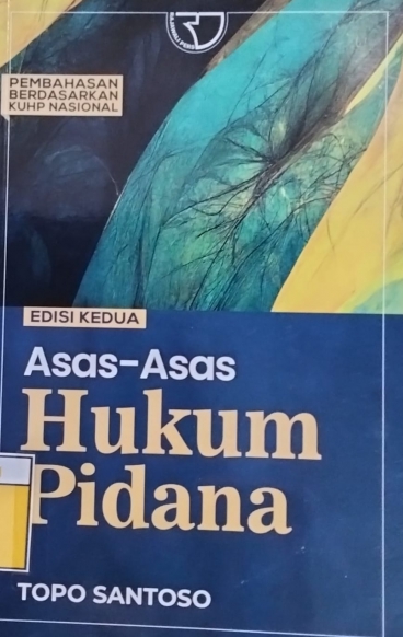 | ASAS-ASAS HUKUM PIDANA EDISI KEDUA - Raja Wali Pers PT Raja Grafindo Persada - 2024 - Hukum,Law |
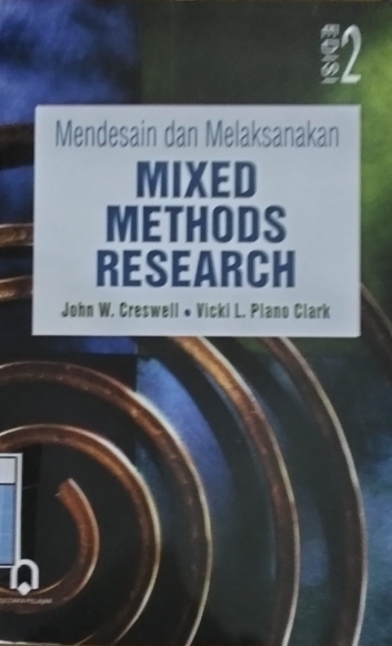 | MENDESAIN DAN MELAKSANAKAN MIXED METHODS RESEARCH EDISI KE-2 - Pustaka Pelajar - 2018 - Metode Penelitian |
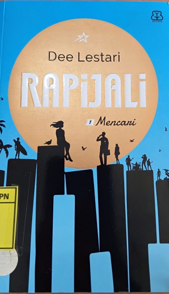 | RAPIJALI 1 MENCARI - PT. Bentang Pustaka - 2021 - Novel |
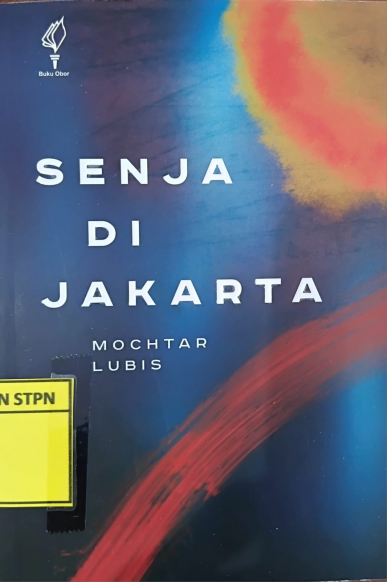 | SENJA DI JAKARTA - Yayasan Pustaka Obor Indonesia - 2025 - Novel |
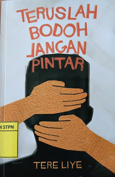 | TERUSLAH BODOH JANGAN PINTAR - PT. Sabak Grip Nusantara - 2025 - Novel Dewasa |
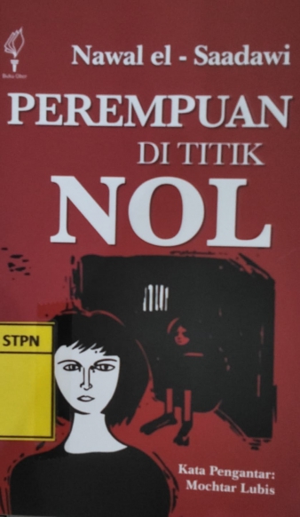 | PEREMPUAN DI TITIK NOL - Yayasan Pustaka Obor Indonesia - 2025 - Sastra,Novel |